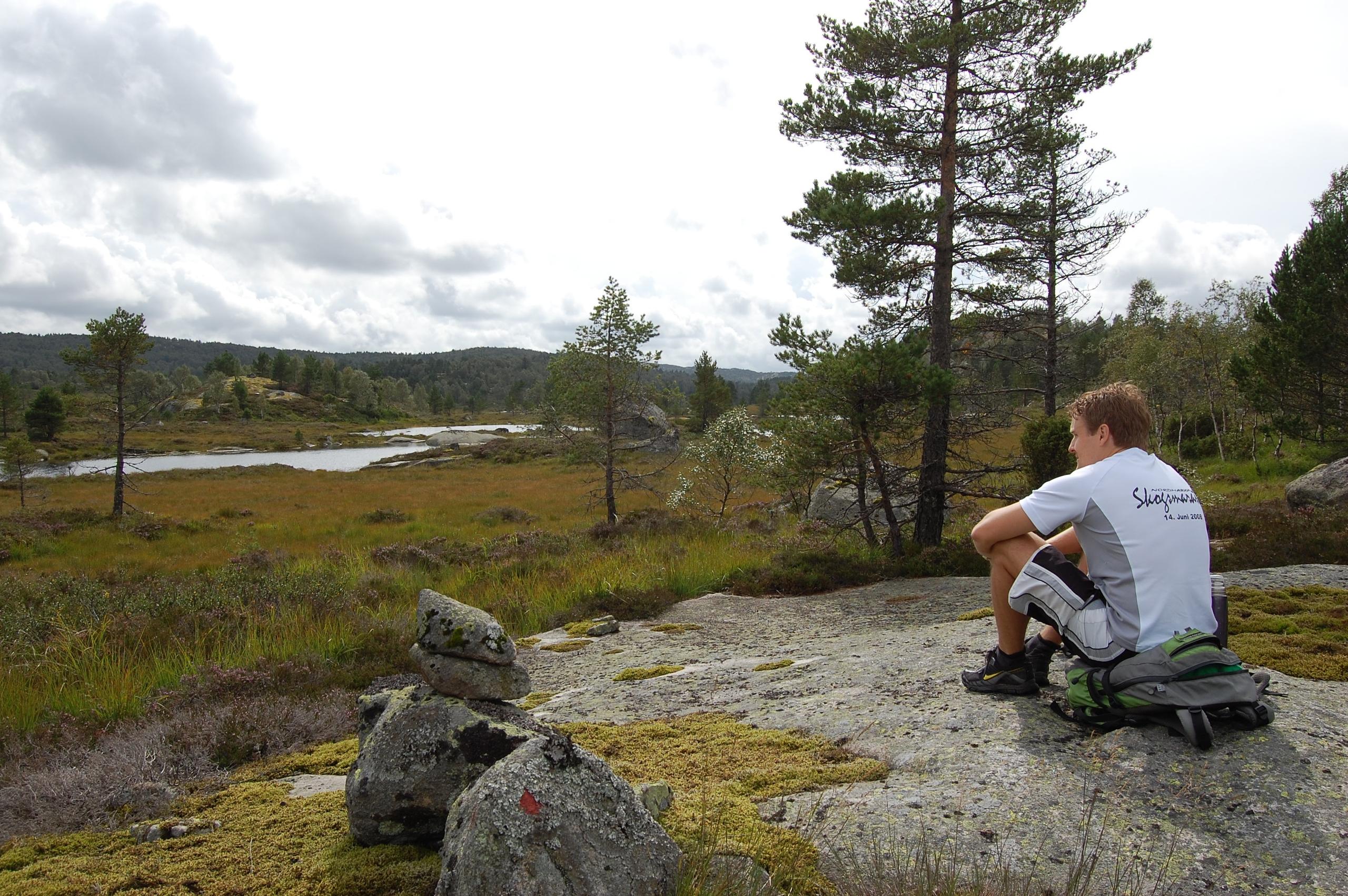
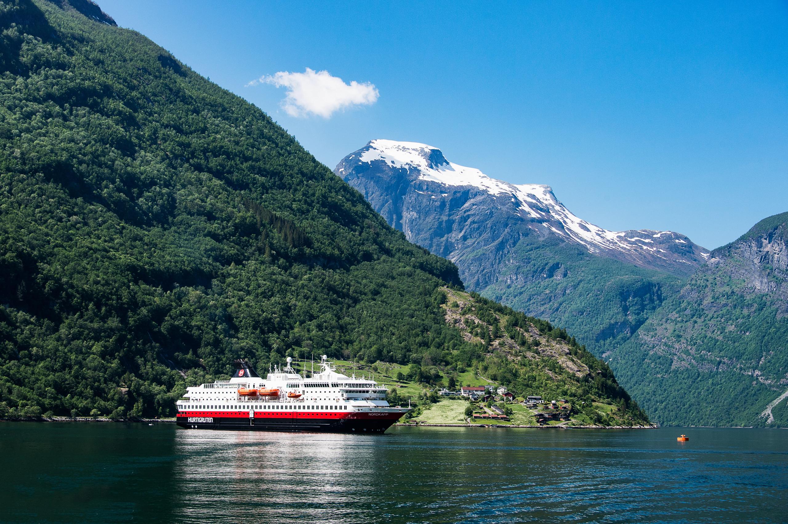
1. Le sentier des saboteurs à Rjukan
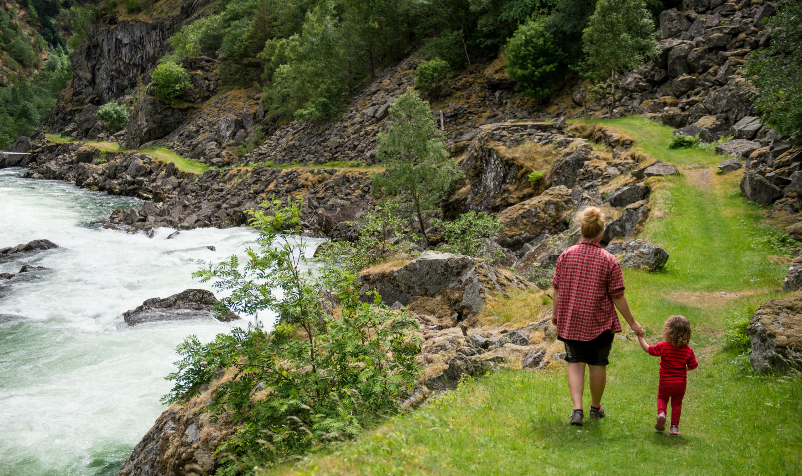
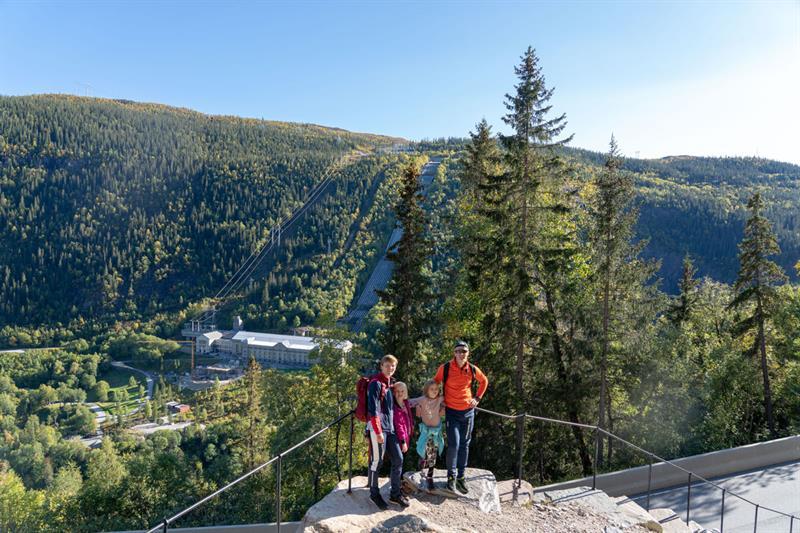
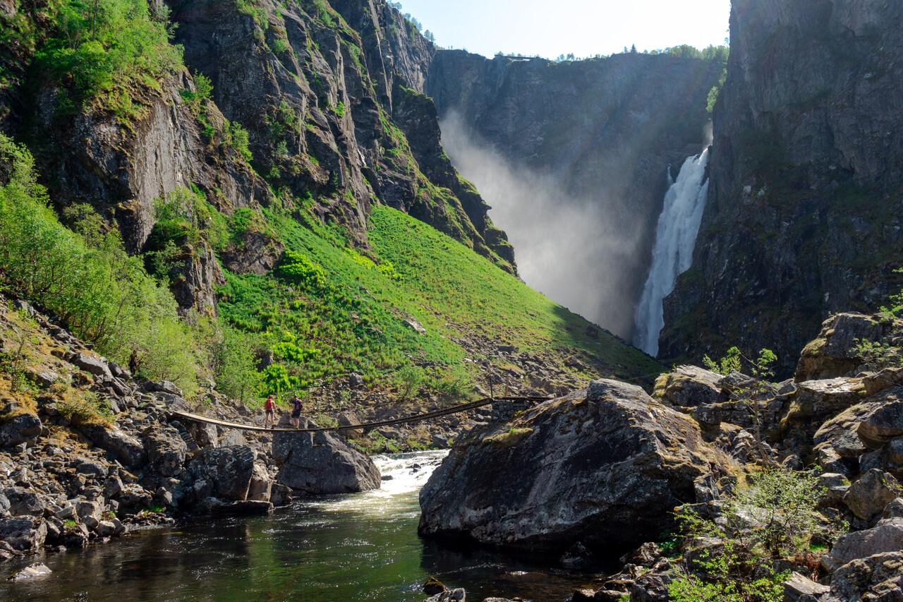
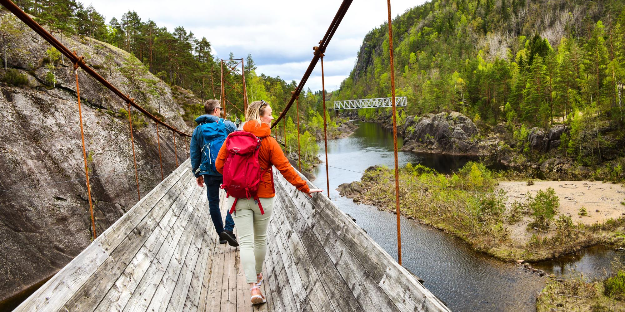
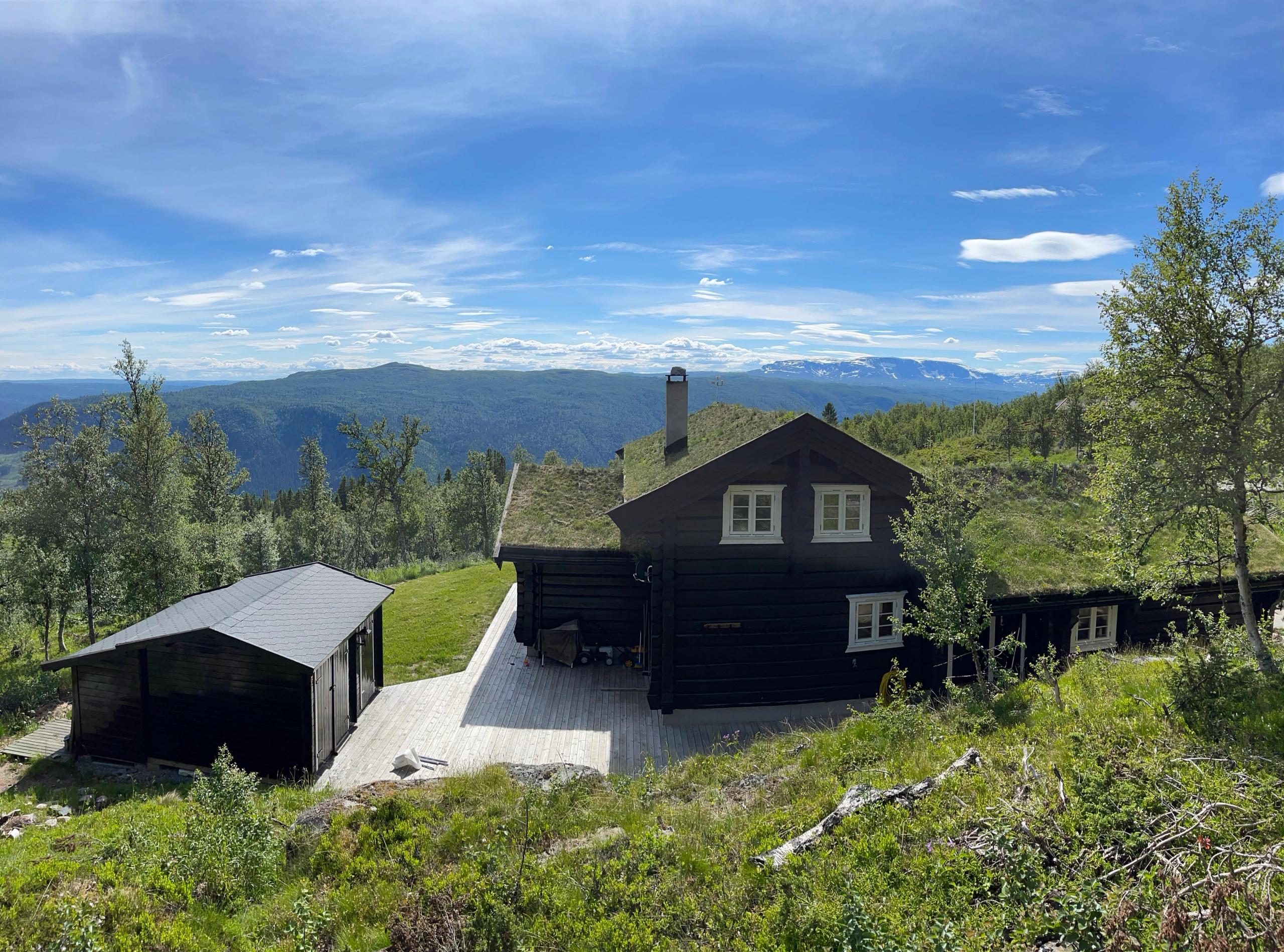
L'un des sentiers les plus connus en référence à la Seconde Guerre mondiale est le sentier des saboteurs à Rjukan. Suivez les pas des courageux résistants norvégiens qui ont traversé le plateau de Hardangervidda pour faire sauter l’usine productrice d’eau lourde de Vemork. Des panneaux d’information sont installés sur tout le parcours, mais vous pouvez aussi faire cette randonnée en compagnie d'un guide qui vous contera ce périlleux récit au long de ces huit kilomètres. Le guide vous montrera aussi la maison où les saboteurs ont probablement passé la nuit précédant l’opération.
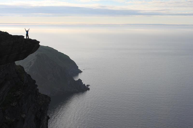
Lorsque vous serez à Rjukan, vous pourrez également prendre le téléphérique Krossobanen jusqu'au plateau de Hardangervidda. De là, on peut effectuer des randonnées à pied ou à VTT ou aller à l’accrobranche. On peut aussi gravir le Gaustatoppen.
Saison : toute l'année
2. Rallarveien, la route des Terrassiers, à Narvik
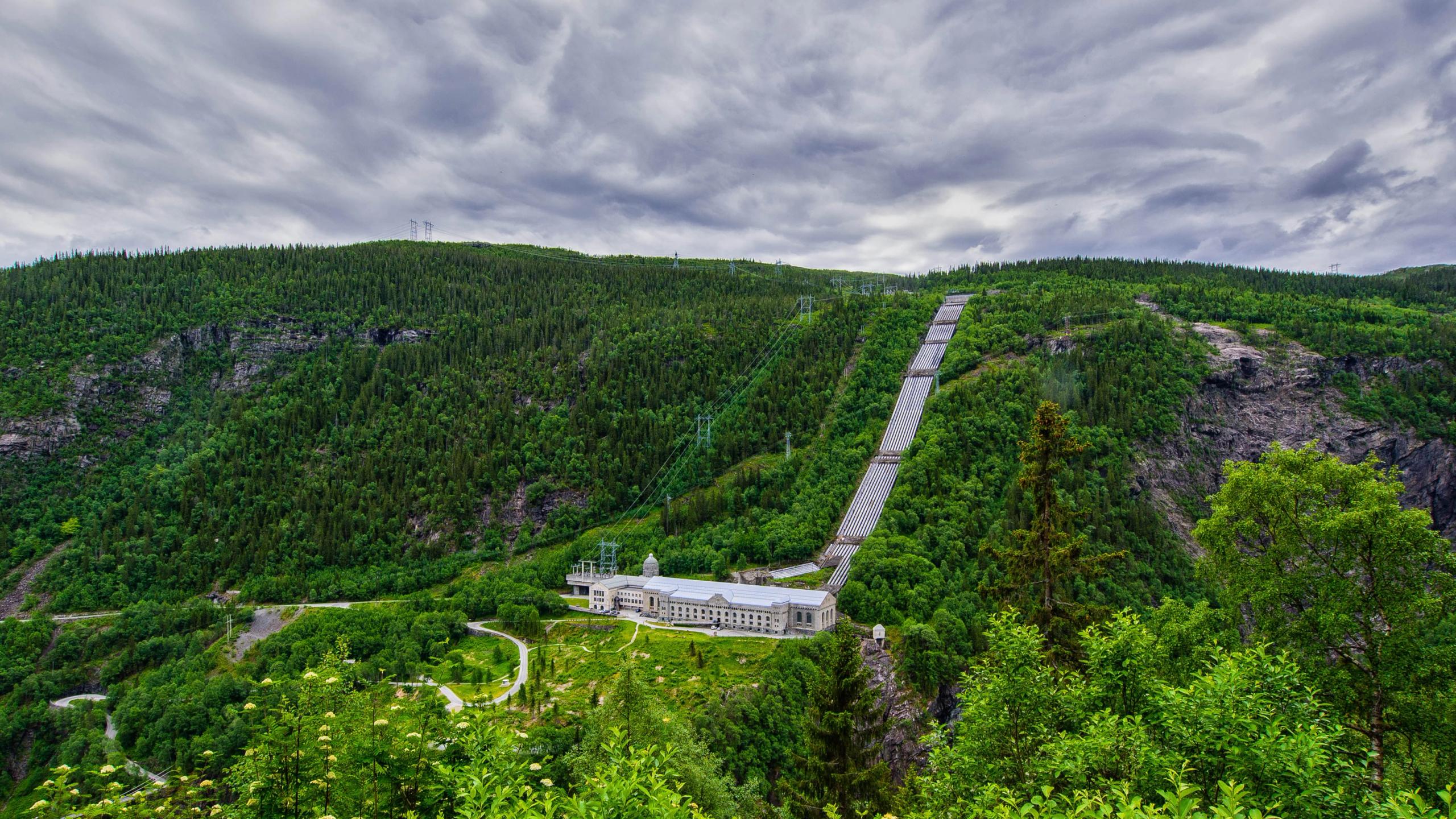
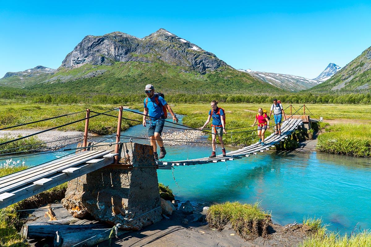
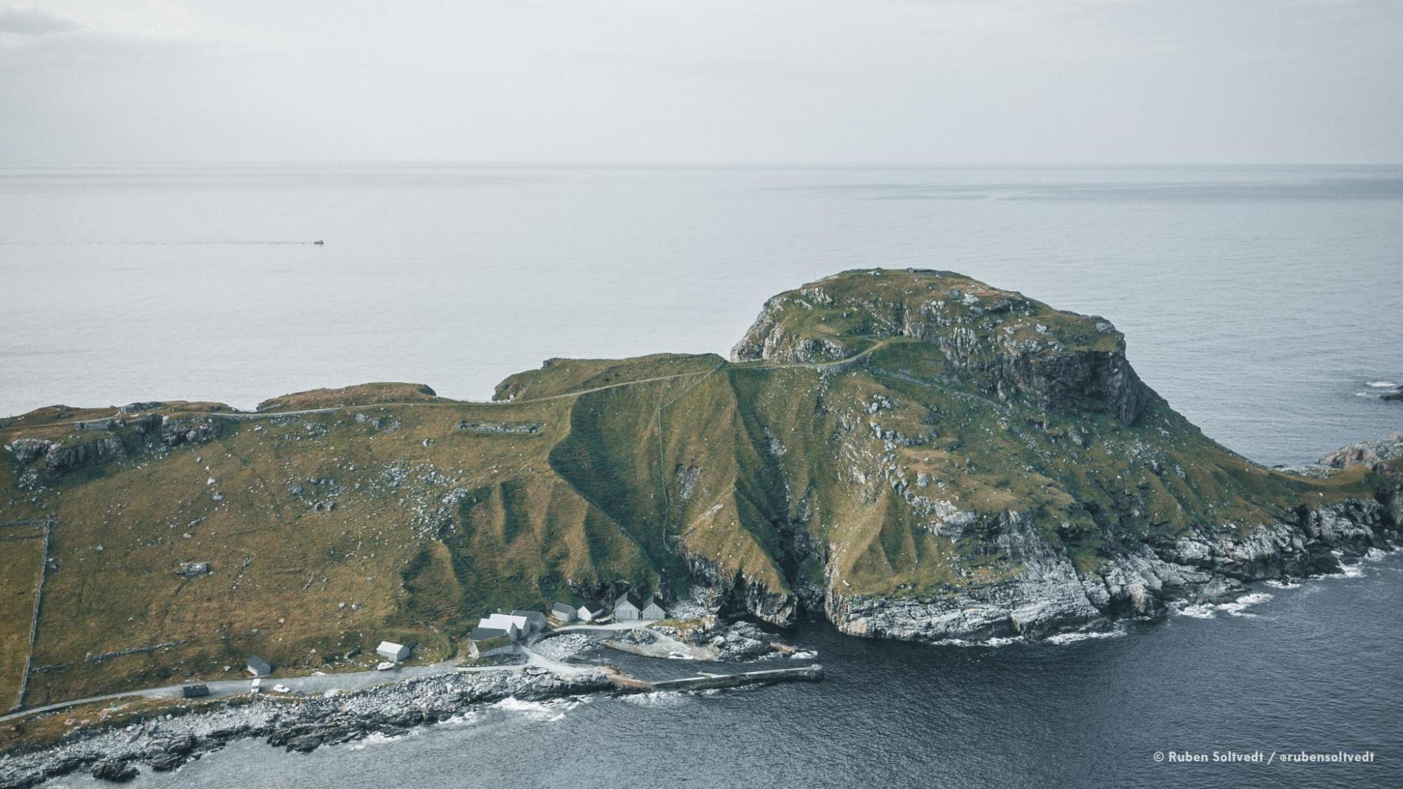
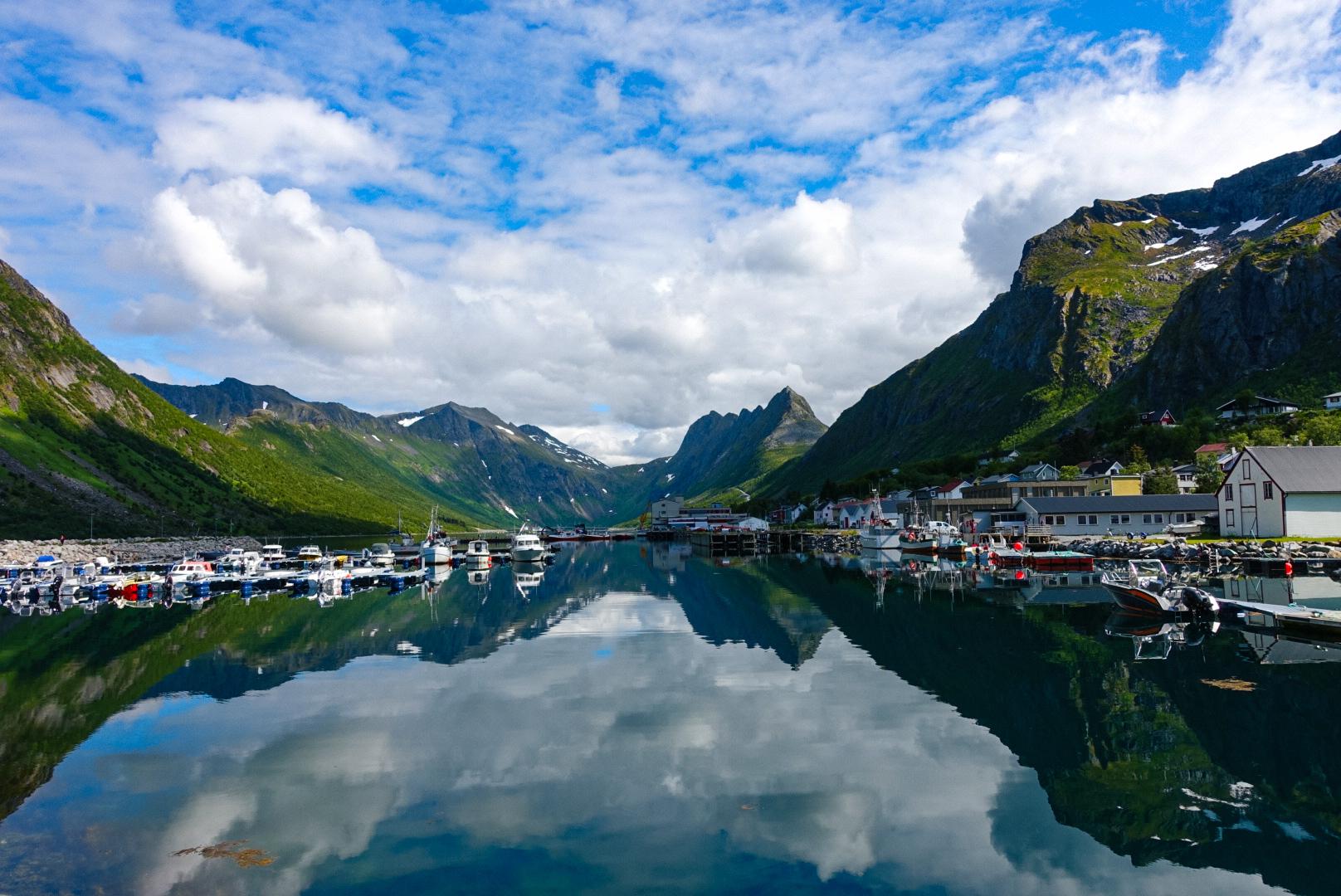
La Rallarveien, à Narvik, est une route historique et culturelle qui va de la montagne au fjord, dans un cadre naturel préservé. C'était la principale route utilisée pour la construction de la voie ferrée Ofoten.
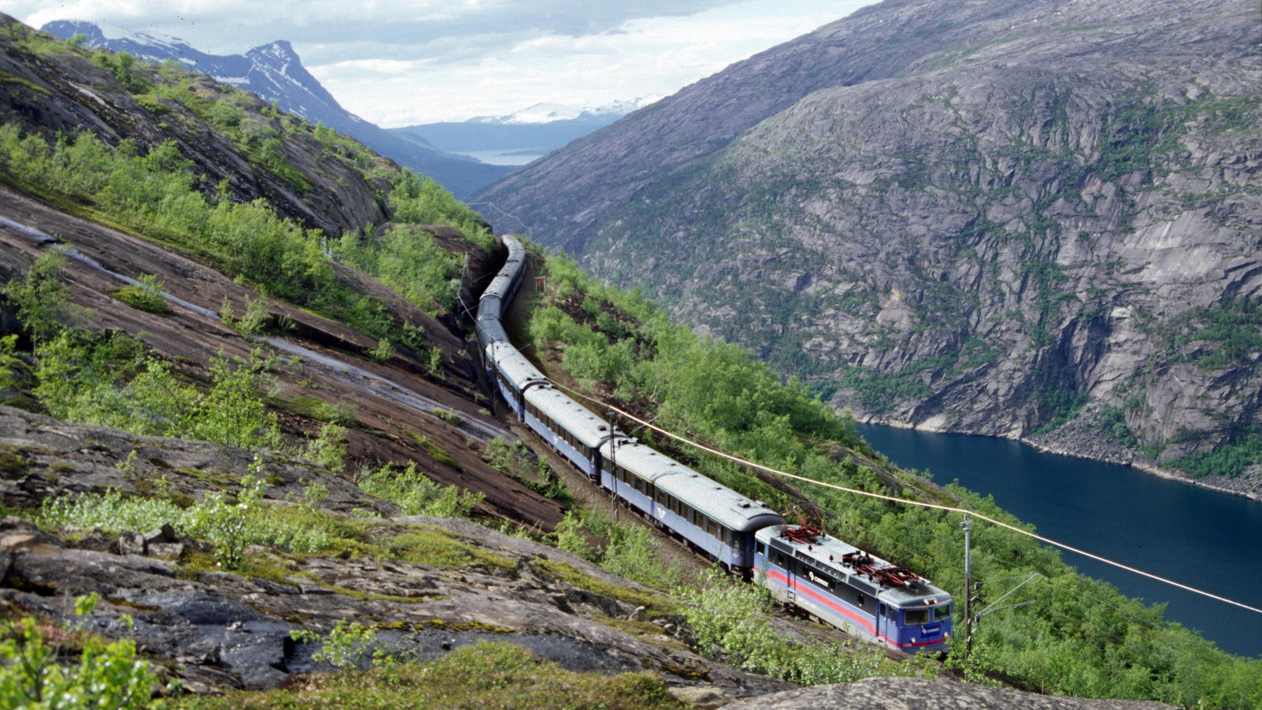
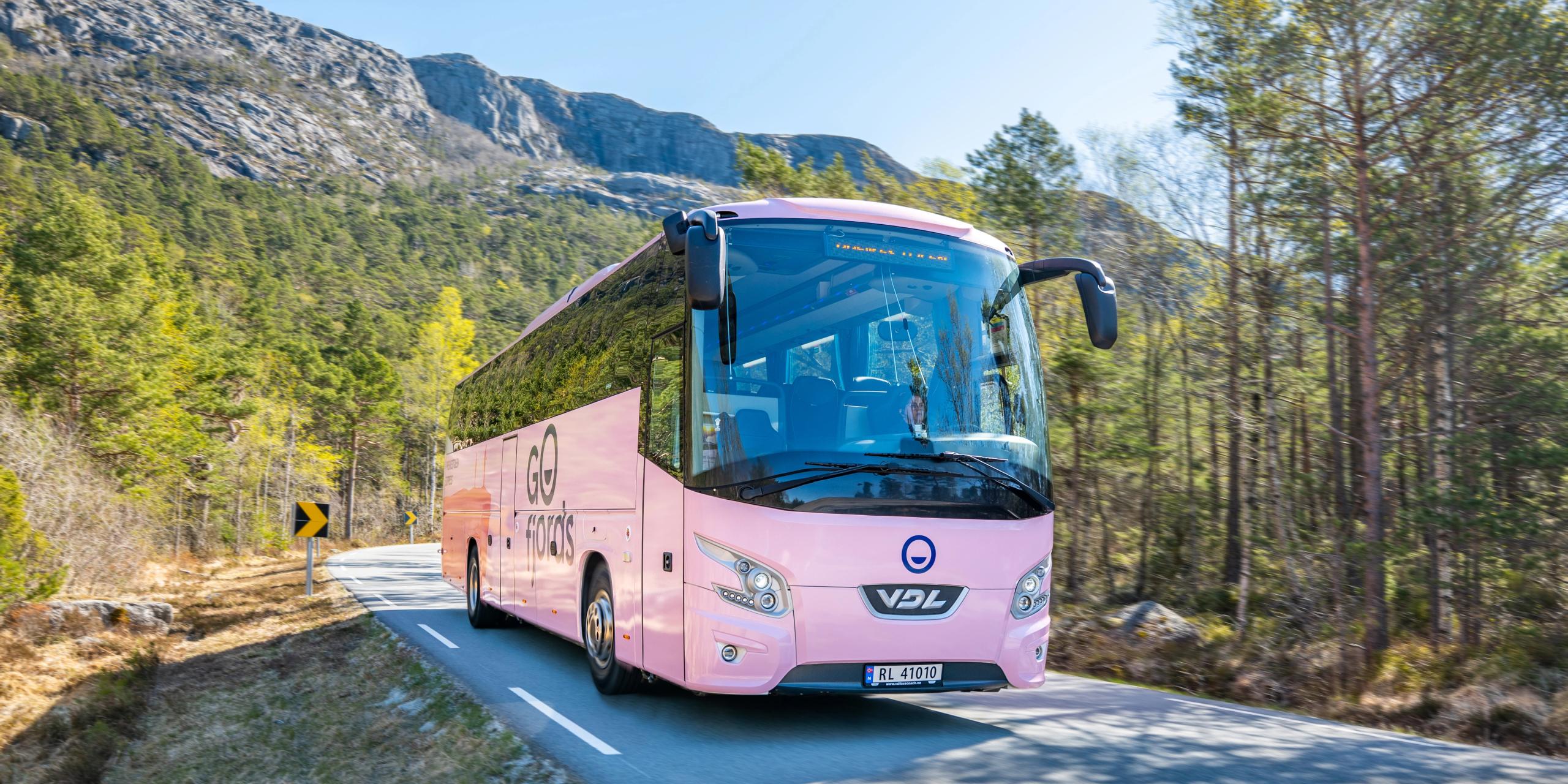
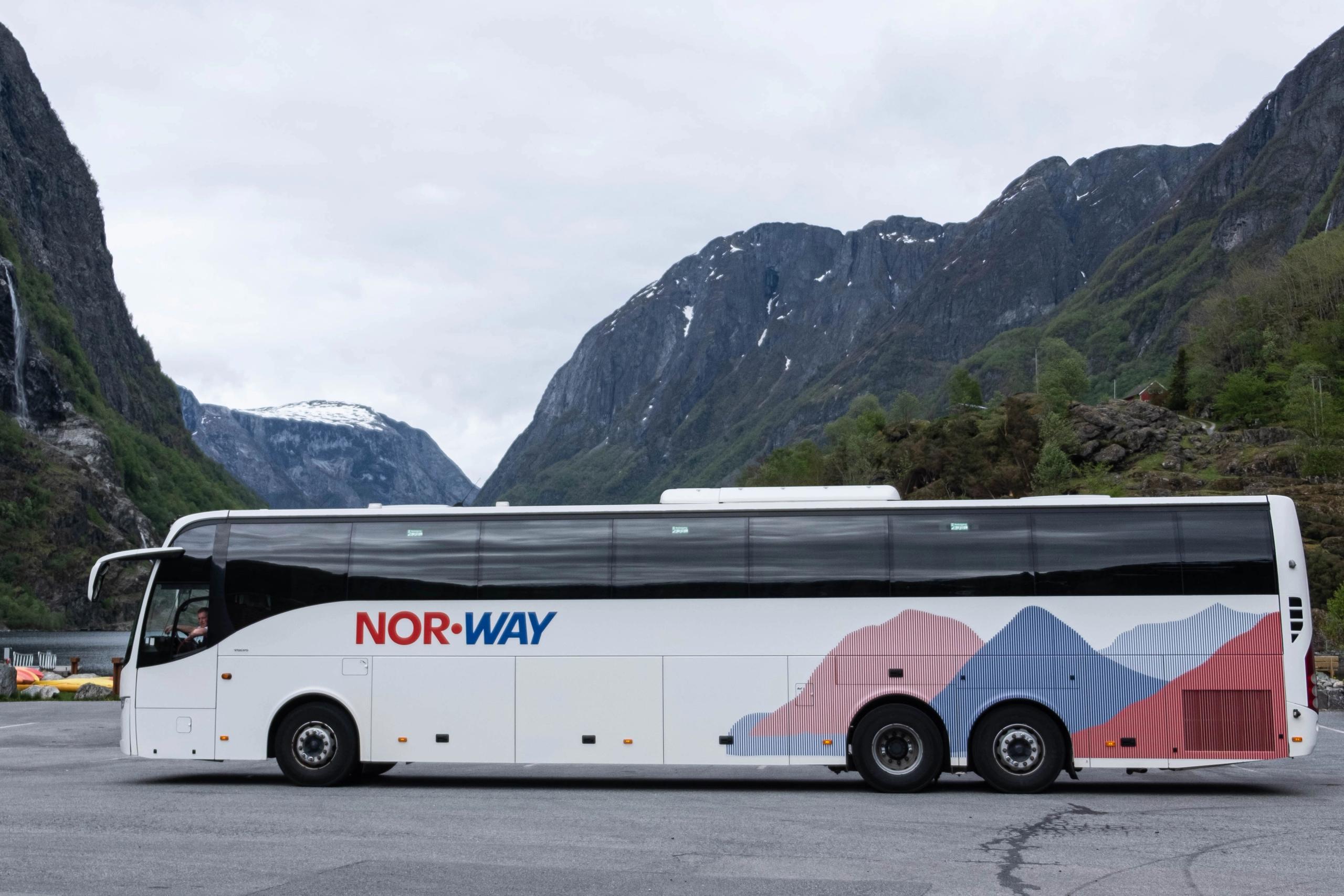
Prenez le train de Narvik à Katterat ou la gare de Bjørnfjell et marchez sur la route des Terrassiers jusqu'à Rombaksbotn, au bord du fjord. De là, en été, il est possible de réserver un bateau semi-rigide jusqu'à Narvik.
L'agence Hiking across Norway propose également cette randonnée encadrée par un guide. Vous commencerez par un trajet en train long de 42 kilomètres jusqu’à la frontière suédoise, puis effectuerez à pied les 15 kilomètres jusqu'à Rombaksbotn, où un bateau semi-rigide, puis un bus, vous ramèneront à Narvik. C’est un beau circuit, d'une durée d’environ 7h30.
Chaque été, Rombaksbotn organise également la marche et le festival de Svarta Bjørn.
Saison : toute l’année, si le temps le permet
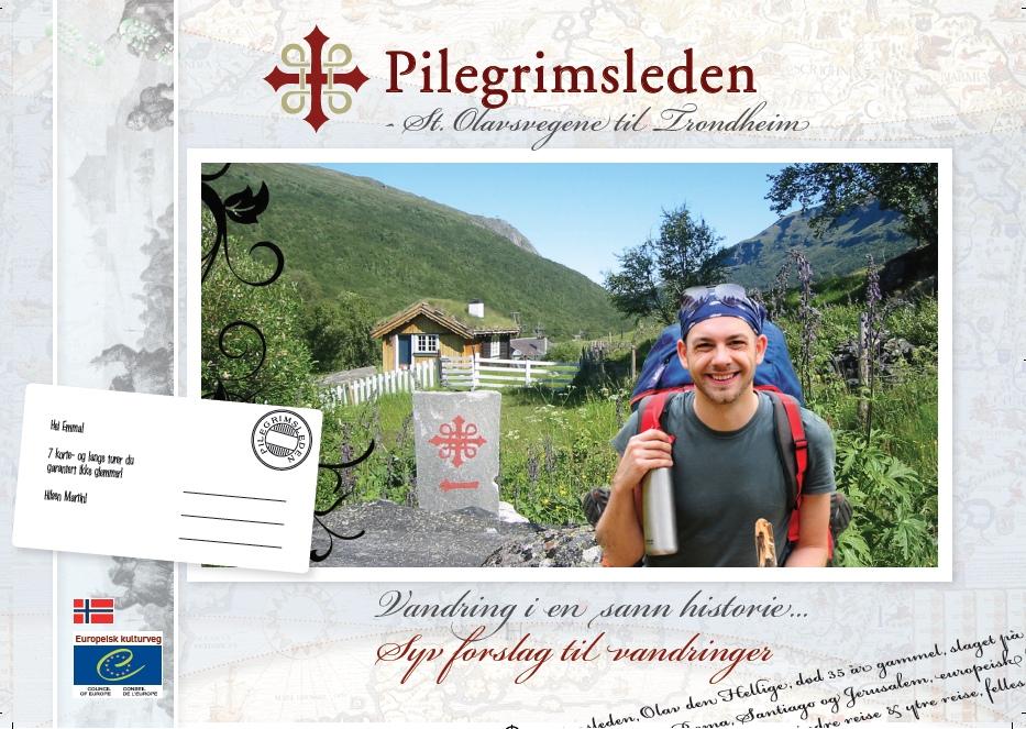
3. Pèlerinages
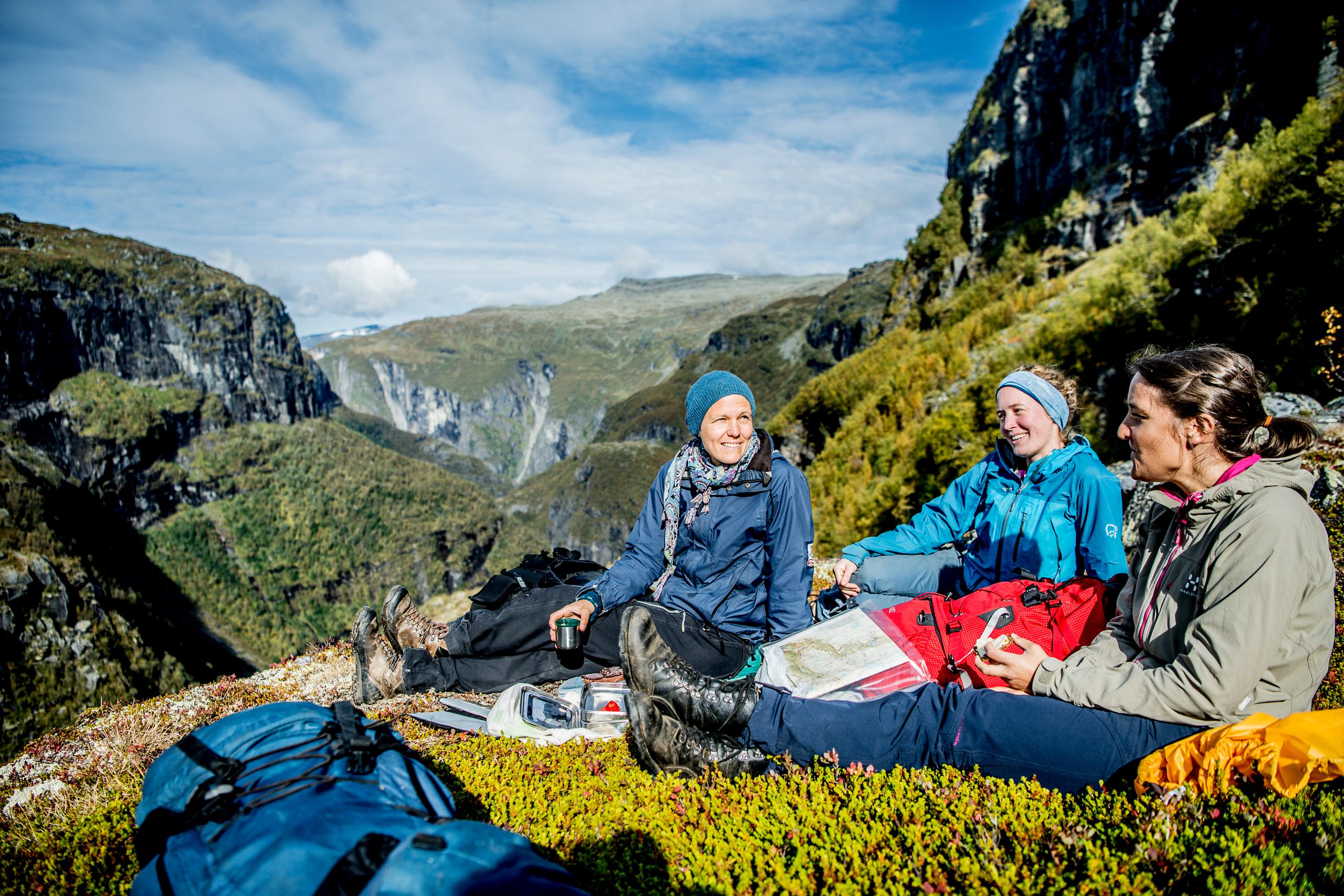
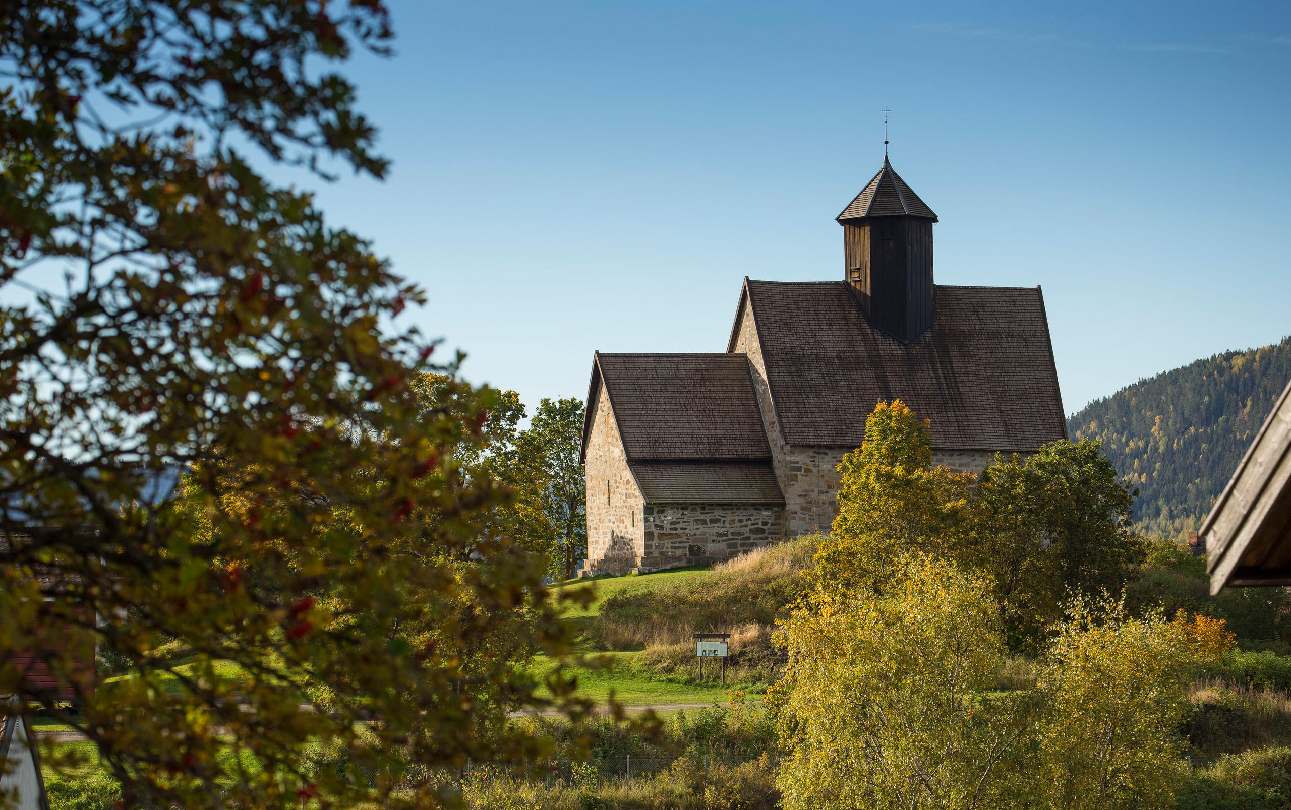
Randonner le long des anciennes voies de pèlerinage d’Europe connaît un succès grandissant. D'anciens chemins de pèlerinage sillonnent la Norvège, dont les 9 plus connus sont les sentiers de Saint-Olav, qui mènent à la cathédrale de Nidaros à Trondheim. Ceux-ci totalisent 3 000 kilomètres, mais la plupart des marcheurs se contentent de tronçons d’itinéraire.
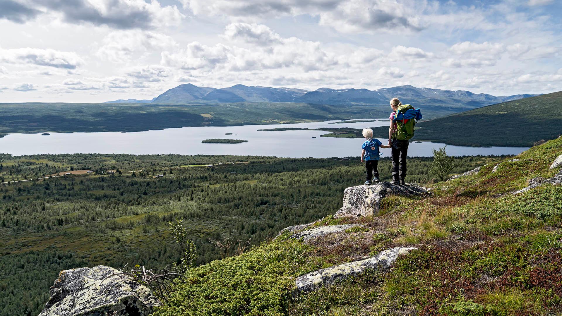
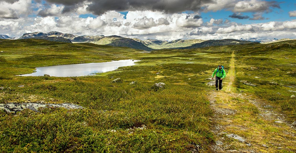
La voie de Gudbrandsleden, entre Oslo et Trondheim, est la plus longue et la plus populaire d’entre elles. Cet itinéraire de 643 kilomètres constituait le principal chemin jusqu’à la cathédrale de Nidaros au Moyen Âge. En l’empruntant, vous foulerez l’un des plus anciens sentiers de pèlerinage du pays. Vous profiterez d’un cadre d’une grande beauté et de paysages culturels variés. Tout au long du chemin, il est possible de passer la nuit dans des fermes accueillant les pèlerins. Les randonneurs choisissent souvent une portion de l’itinéraire, et bon nombre d’entre eux partent de la région de Lillehammer.
Saison : 1er juin – 1er septembre (en fonction du temps)