Bremanger


The hike starts at the sign at Iglandsvik. Follow the blue/red-marked trail to the outfields and continue along the mountainside up to the trail intersection. Area: Bremanger Type: Hike/walk Classification: Medium Length and duration: 4.9 km, 2.5 hours – the hike is one way, from A to B Season: All year round Parking at Iglandsvik Marina
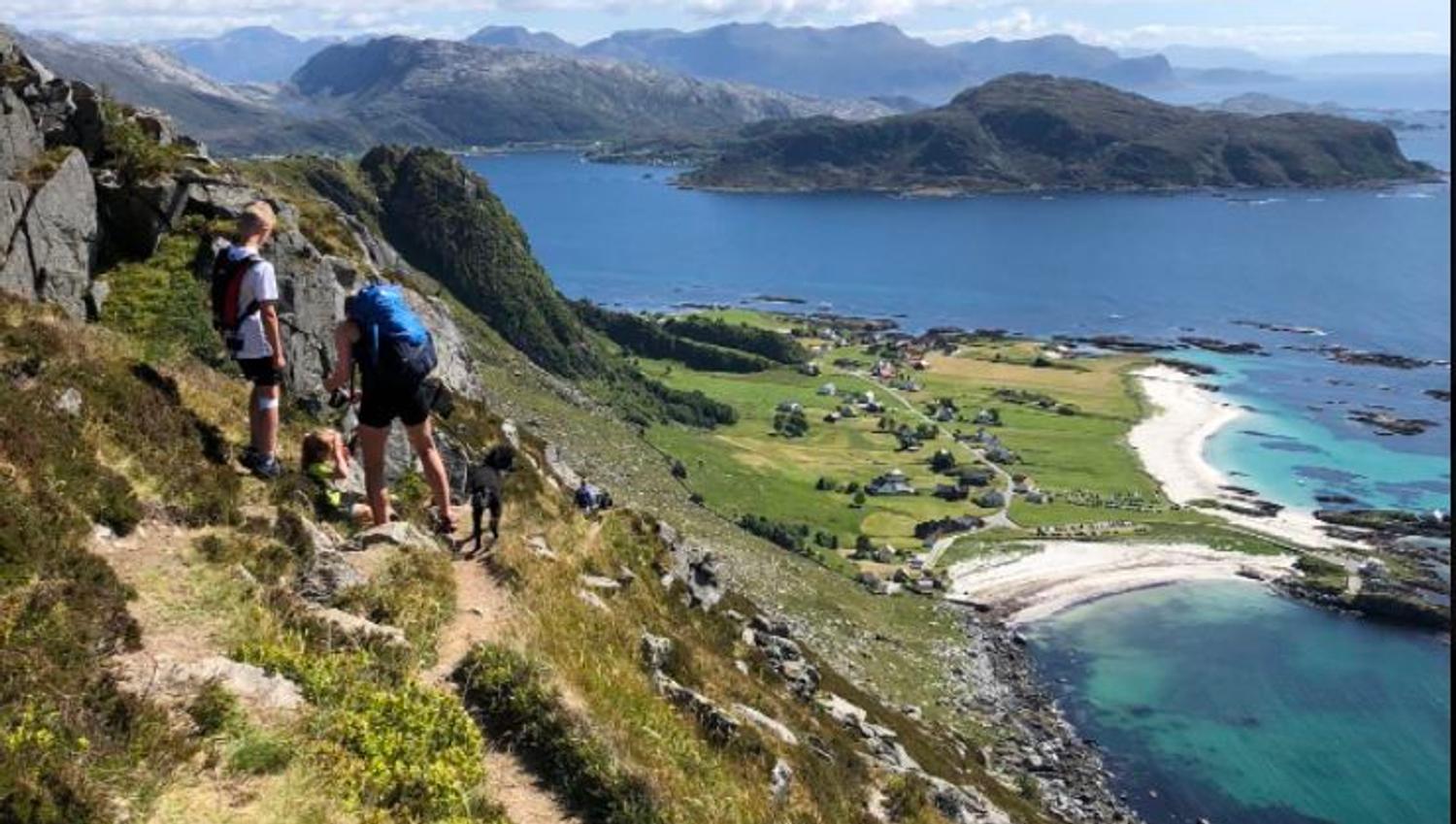
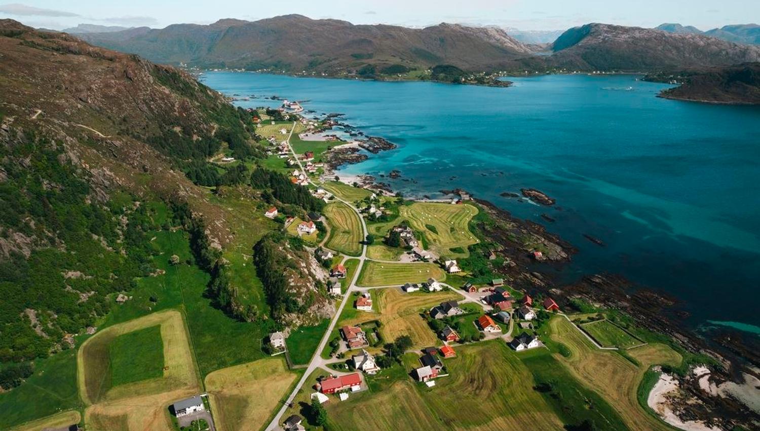
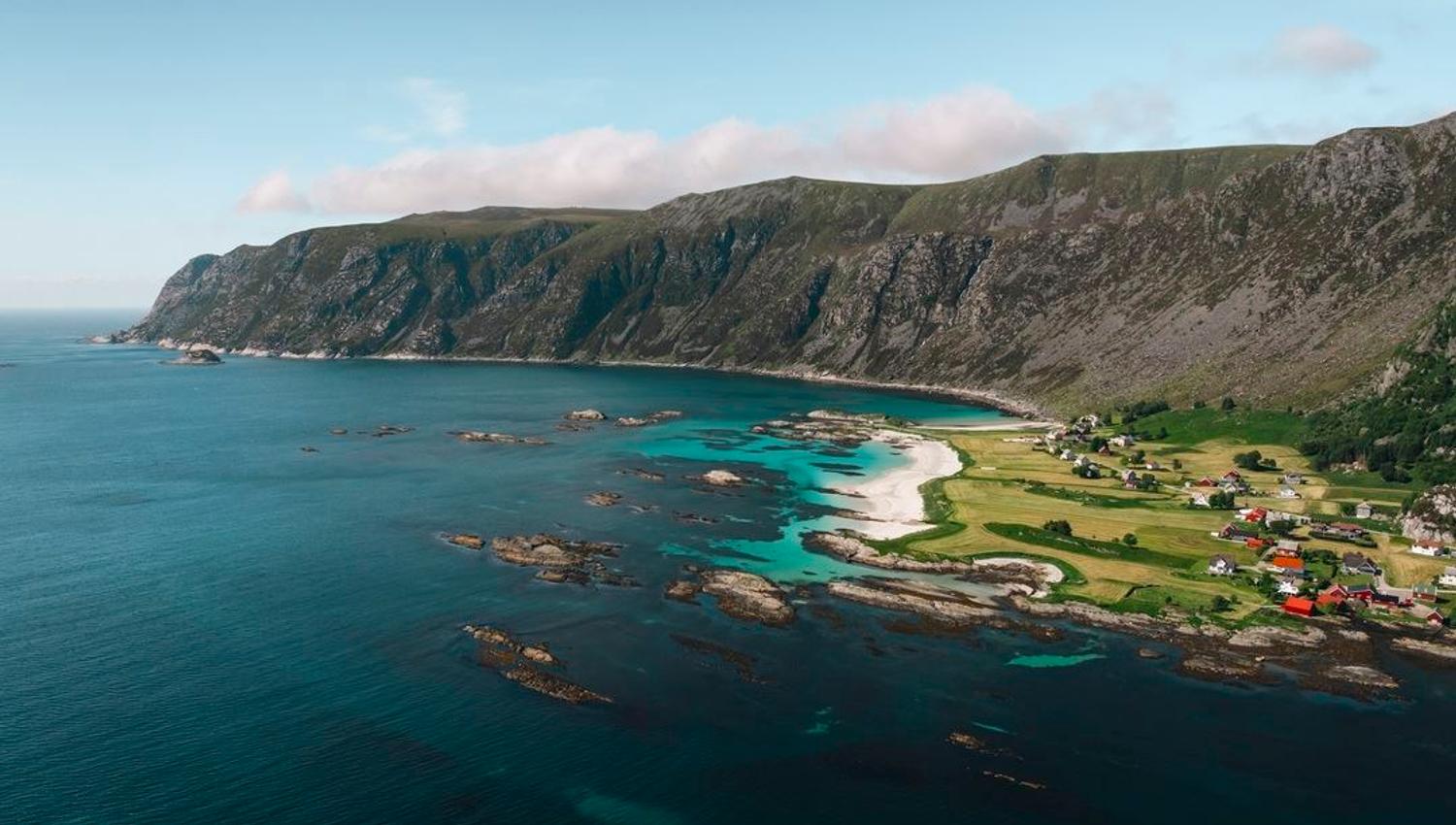
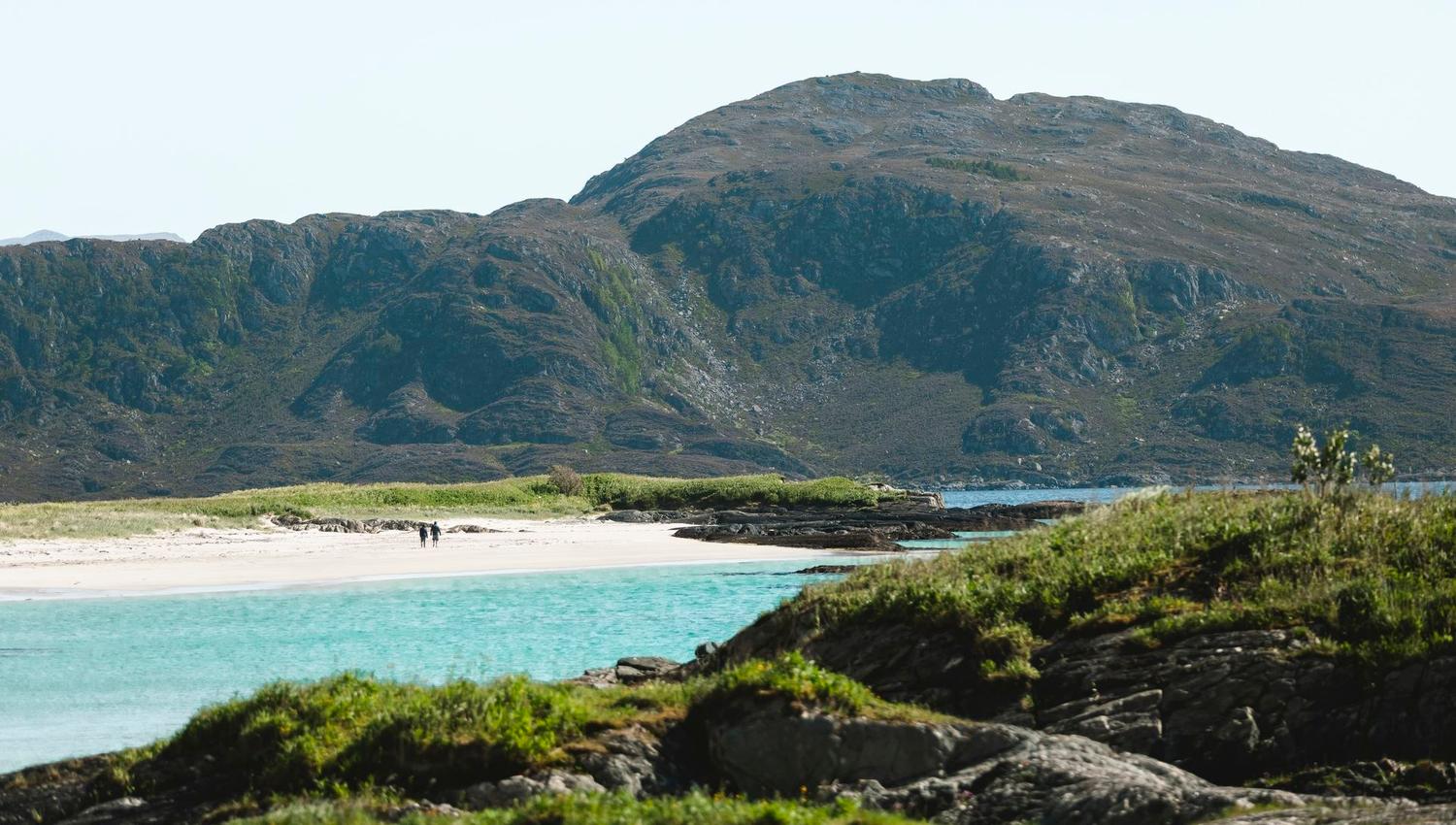
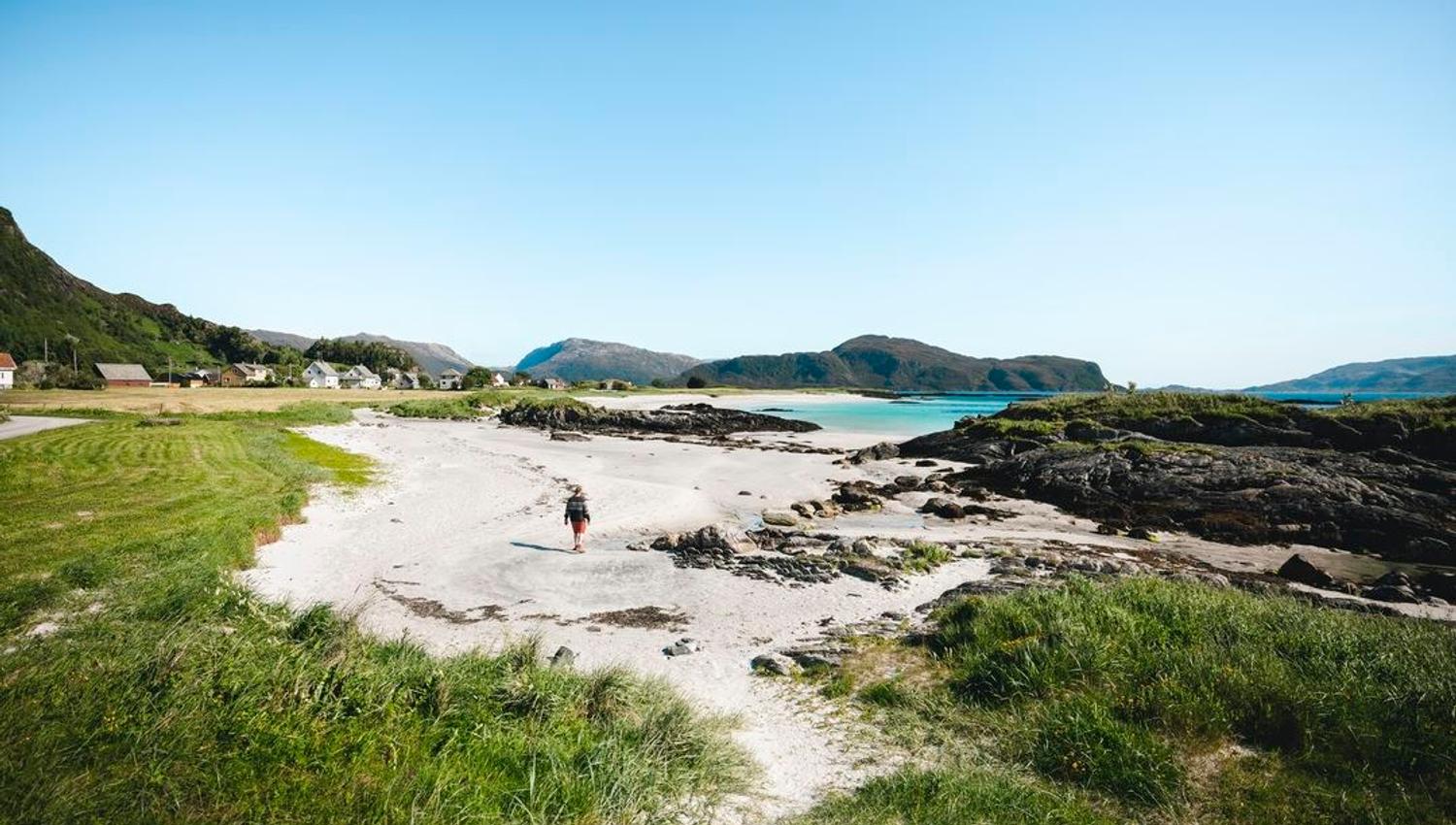
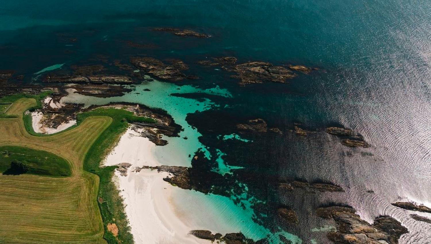
Take the good trail to the west through heather and juniper terrain. A number of times on the way, you will see views towards Grotle on the plains below. There’s a view to the south for the entire trip: the villages on the south side of Bremangerpollen, the island of Frøya, the islands further south along the coast, and of course the view westwards towards the ocean. Eventually you pass some old walls that bear witness to the use of this area for grazing cattle. After 2 km you will arrive at a gravel road that you follow about 500 metres up to a new pointer arrow sign. Leave the road and continue west through grassy terrain, before reaching the viewpoint towards Grotlesanden beach. Continue down the Martinsbakken mountain ridge, past a farmhouse, and head all the way to the river in Grolsdalen valley. The path you join now feels like it’s plunging into the sea, but it’s used a lot and is clear and easy to navigate. Follow the path down the mountainside until you reach Grotlesanden beach.
After the steepest part of the descent, many take a break at the Olasteinen viewpoint.
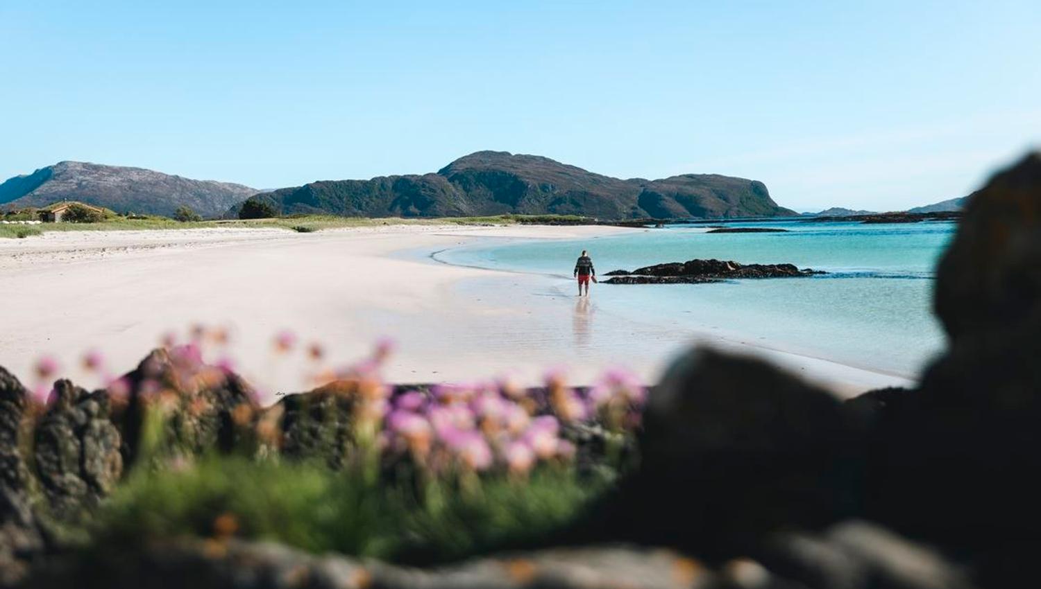
A refreshing swim is a wonderful way to end the trip.
The hike takes roughly 2 hours and 30 minutes.
Source: Nordfjord