Stryn
The mountain that divides the villages of Stryn and Loen between them.
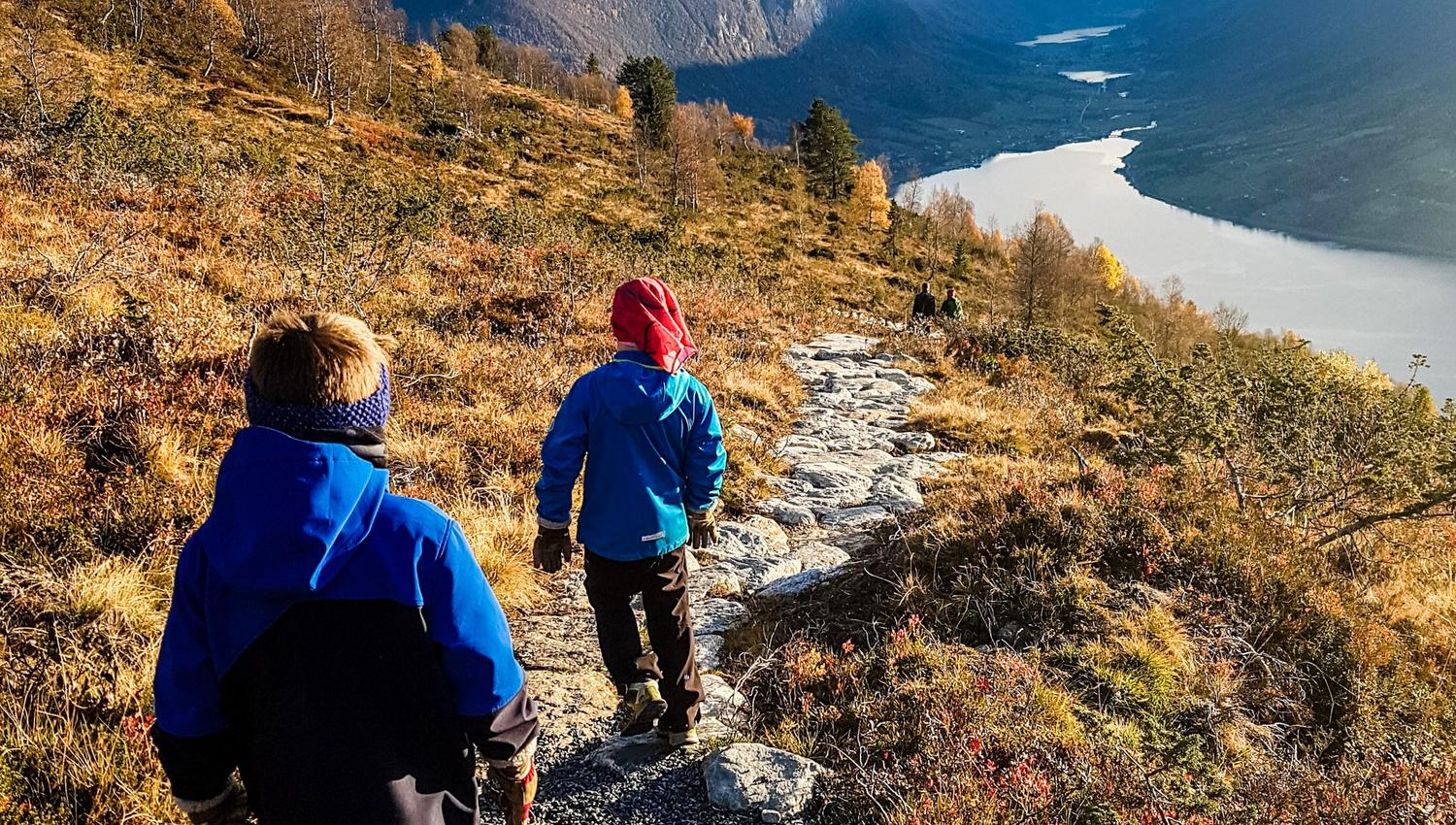
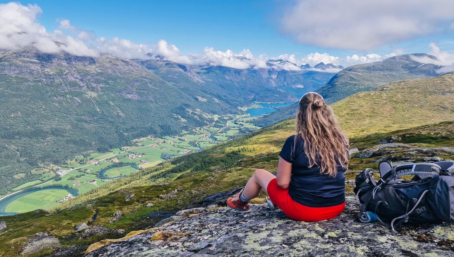
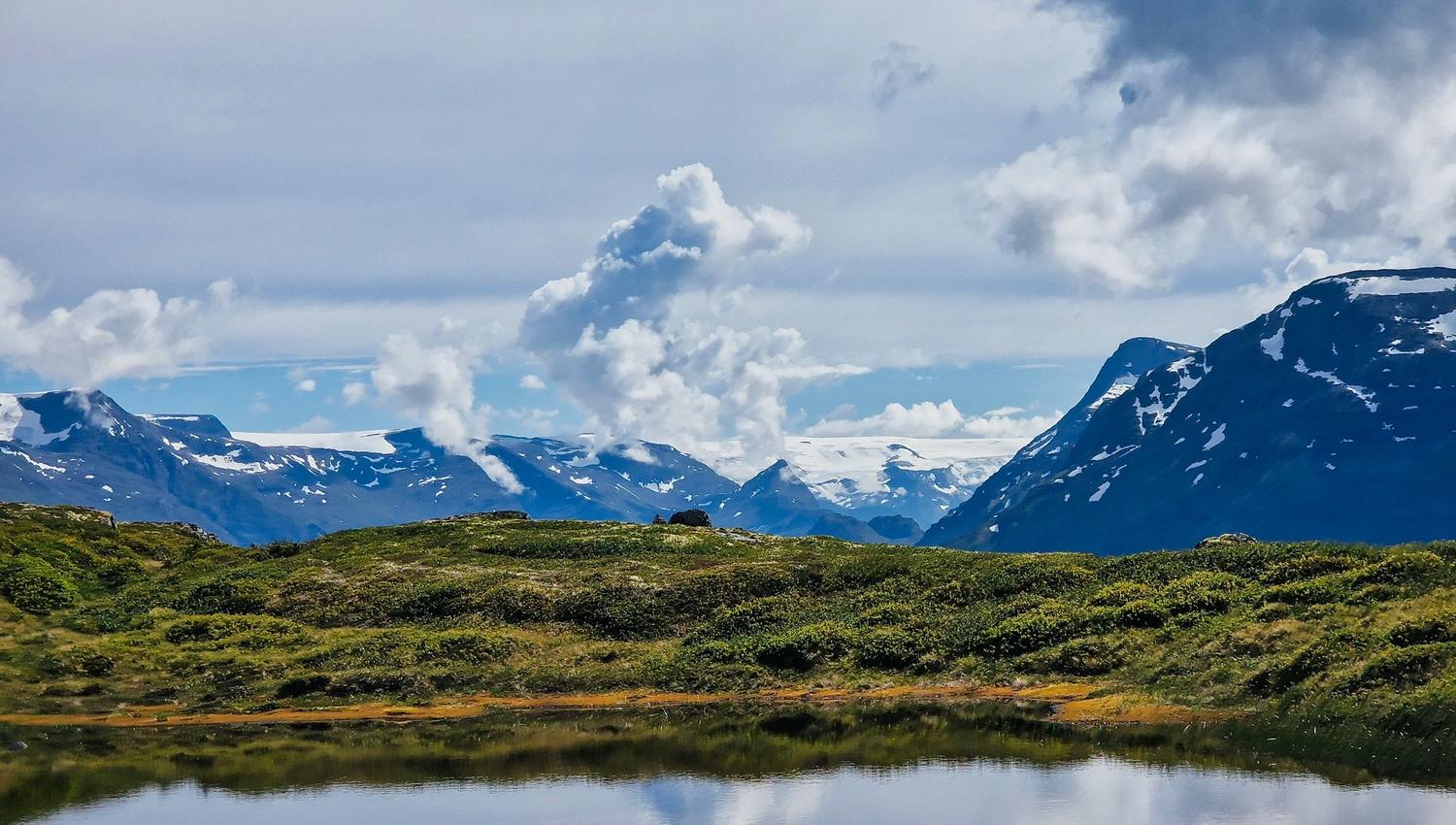
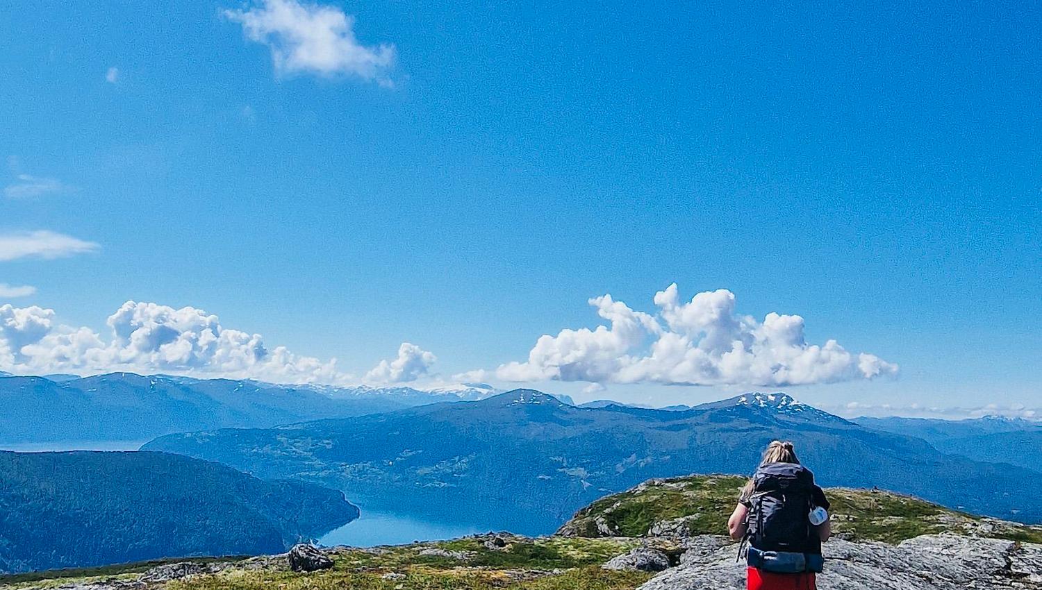
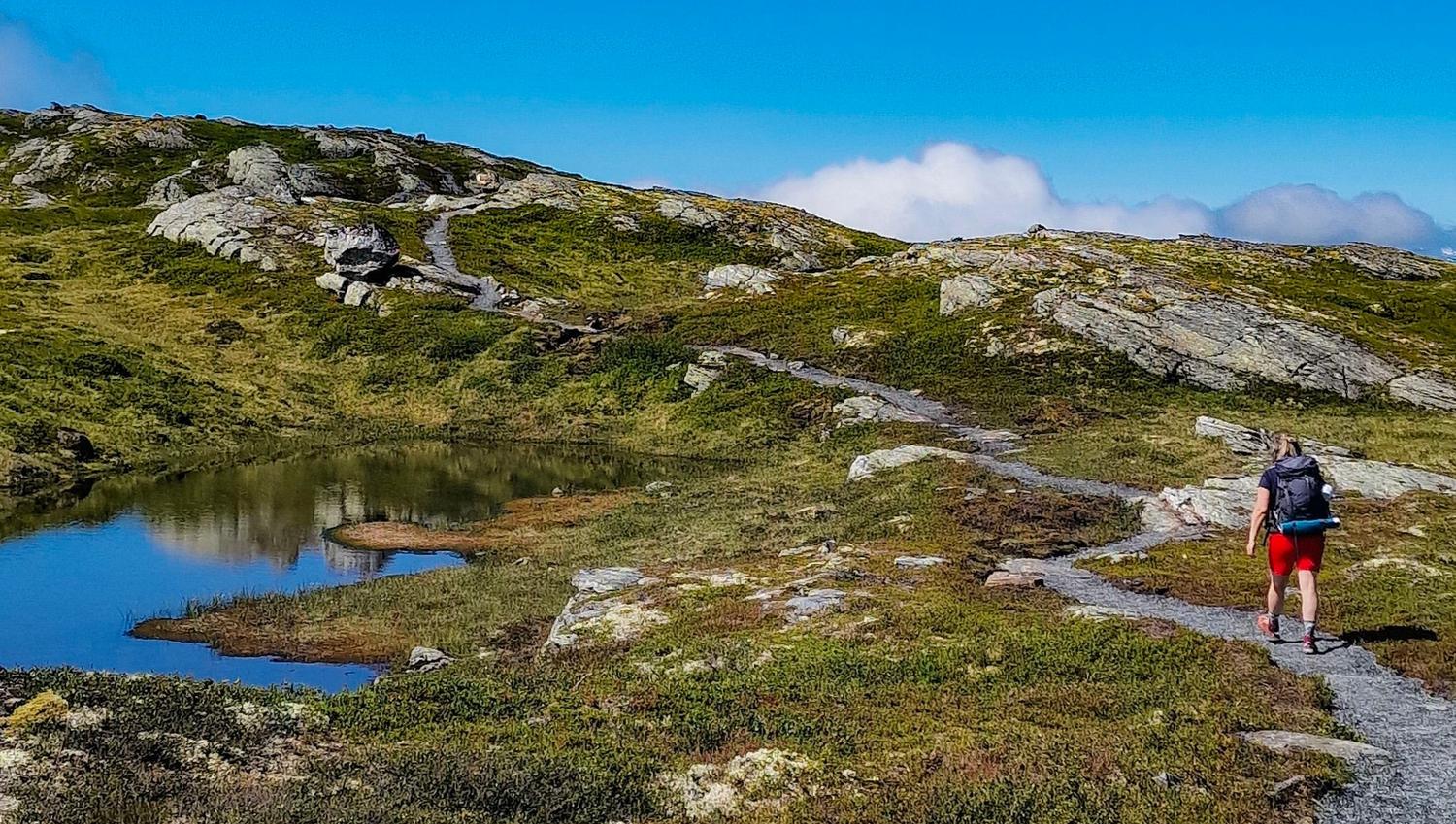
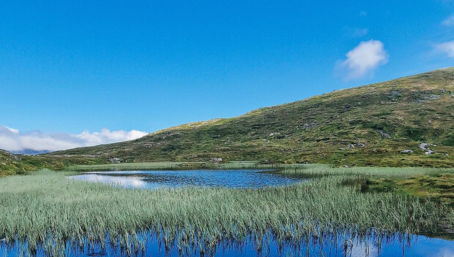
Midway between Loen and Stryn you will find the road up to Oppheim, this is the starting point for the trip to Mt. Årheimsfjellet. From the car park at Oppheim, the path goes past the popular pasture Raksetra. From here, the path turns north-east to Oppheimsetra and further up the heather-clad hillside to Nøkketjønna. Here the path turns west over the heath towards the top. Dry path and family-friendly terrain all the way to the top of Mt. Årheimsfjellet 1006 meters above sea level.
Another option is to take the cable car Loen Skylift to mountain Hoven 1011 meters above sea level. Up there you will find a gravel path from Hoven via Skredfjellet mountain, Nøkketjønn tarn to Årheimsfjellet. From the crossroads at Nøkketjønn there is about a 300 meter hight meter walk in gentle mountain terrain towards the top of Mt. Årheimsfjellet. In the summer season there is a shuttle bus called "Loen Shuttle" from Oppheim back to Loen if you choose to return from Årheimsfjellet via Oppheimsetra, Raksetra and down to Oppheim.
Source: Nordfjord